It is Kentucky’s longest highway: a 483-mile stretch of pavement that unfolds east to west from the Virginia border near Elkhorn City to the Mississippi River at Columbus. It squeezes through narrow mountain valleys, over the state’s biggest lakes, across the honeycombed terrain of cave country, and past some of the most fertile farmland in the South.
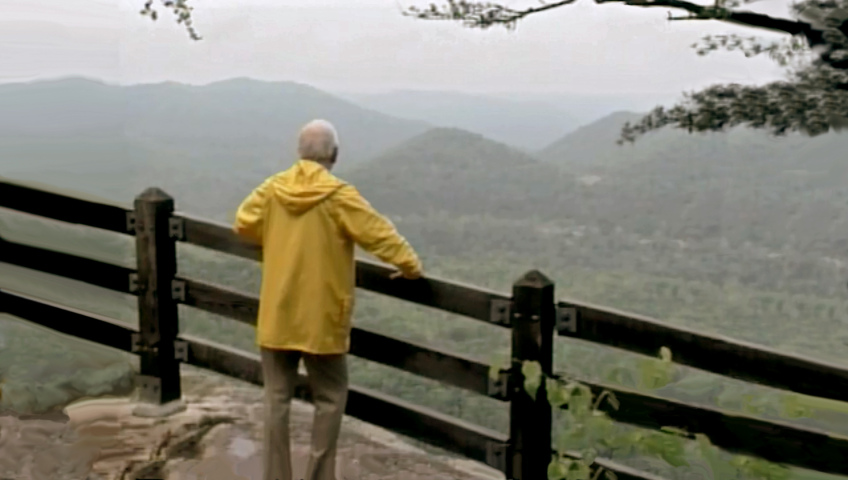
In 1992, newspaperman John Ed Pearce travelled the length of the scenic road for a KET documentary called Along Kentucky 80.
“In a sense, our journey symbolizes our state, which formed a bridge between the seaboard colonies of the east and the lands of the west, whose settlement marked the coming of age of our nation,” he said.
Pearce was a native of Virginia but spent the majority of his career writing editorials, columns, and feature stories for The Courier-Journal and, later, the Lexington Herald-Leader. He shared a Pulitzer Prize in 1967 for the Courier‘s reporting on the ravages of strip mining in Appalachia.
Here are four of the stories of people and the land that Pearce explored during his road trip on Highway 80 more than a quarter-century ago.
A Timber Dispute and the Murder of a Governor
To think of eastern Kentucky is to think of coal. But the mineral wasn’t the first commodity to be extracted from the state’s Appalachian counties.
“Before coal, timber was about the only cash crop the mountaineer had,” Pearce said. “There was fine timber on these hillsides: yellow poplar, oak, ash, walnut. It brought good money, and men were willing to kill for it.”
Land deeds and boundary surveys in the early days were often inaccurate and undependable, which left property lines to be “lawed over or fought over,” according to Pearce.
It was arduous work to fell the old-growth trees that carpeted the steep ridgelines and mountain valleys. Men with axes and hand saws would cut the trees, then use teams of horses or oxen to drag the timber down the hillsides to the nearest river, where the logs would be branded and lashed together to form great wooden rafts. And there they would wait until spring rains would flood the river and float the timber to downstream sawmills.
“Family fortunes and reputations were made from these log rafts,” Pearce said.
A timberland dispute led to one of Kentucky’s bloodiest feuds between the Howard and Baker families of Clay County. Tensions existed between the two wealthy and politically connected families for half a century before a property fight erupted in 1898. A string of shootings ensued that left multiple members of both families dead. The episode stretched on for nearly two years and extended far beyond the borders of Clay County when a member of the Howard family was implicated in the assassination of Democratic Gov. William Goebel in 1900.
“I don’t think that Jim Howard did it, although he spent seven years in the pen for doing it,” said local historian Jess Howard. “In the trials that I’ve read about, the Democrats were more interested in hanging the Republican Party than they were in finding out who actually shot Goebel.”
In all, the Howard-Baker feud would last nearly 100 years and claim more than 200 lives.
4,000 Years of Cave Tourism
Moving into south-central Kentucky, Highway 80 traverses the state’s cave country. Mammoth Cave National Park is the region’s most popular underground attraction. Its more than 400 miles of known passages attract more than 2 million visitors a year.
“It’s not the prettiest cave I’ve ever been in, but it’s got one heck of a story,” says long-time park ranger Joy Lyons. “People have been using this cave for about 4,000 years.”
In more recent times, people have toured the cave commercially since the 1800s. In those days visitors would write their names on the cave walls and ceilings using candle smoke. Lyons says some would even pay tour guides for the privilege of piling cave stones into cairns to honor a family member or their hometowns.
“Were the guides happy? Yes. Were they making extra money? Of course. Were they getting those trails cleaned? You betcha,” Lyons said.
In the slavery era, caving became a way for a few local black men to earn money. Lyons said Stephen Bishop, Mat and Nick Bransford, and other African American guides of the 1830s are credited with exploring deep into the cave and opening many new routes for tours.
As more people flocked to Mammoth in the late 1800s and early 1900s, the owners of neighboring hardscrabble farms decided they wanted a piece of the increasing tourism profits. That competition launched an era known as the Cave Wars.
“As the decades passed, more and more people were out looking feverishly for cave entrances on their property,” said Lyons. “These people were really out to make a living and they were doing what they had to do.”
Some private cave owners went so far as to situate men dressed as sheriffs along the road to Mammoth Cave. Lyons said they would flag down passing tourists and tell them Mammoth Cave was closed because it had collapsed. The man would then give them one free ticket to visit another cave, which they promised was far prettier than Mammoth.
The illicit work of these so-called “cappers” prompted local officials to seek federal protections for Mammoth Cave.
“After about 15 years of hard work… Mammoth Cave National Park was finally established in 1941,” Lyons said. “The second world war slowed up the dedication service, but by 1946 things were really well on their way to becoming a very highly visited national park.”
The Black Patch War
Heading west from cave country, Highway 80 passes the Shaker settlement at South Union, the Russellville bank allegedly robbed by the Jesse James Gang in 1868, and the 351-foot concrete obelisk that commemorates the birthplace of Confederate States President Jefferson Davis.
The flat, open farmland around Hopkinsville was once known as the Black Patch for the special variety of tobacco traditionally grown along that part of the Kentucky-Tennessee border. The plant has darker green leaves than burley tobacco. Once harvested and hung in barns, the leaves are cured by the smoke of small, smoldering fires set on the dirt floors of the barns. The process results in a flavored leaf that is prized for wrapping cigars and making chewing tobacco.
“For nearly two centuries now, dark-fired tobacco has been the main cash crop in this part of Kentucky,” Pearce said in 1992. “A good or bad crop meant boom or bust, and a good or bad price for the crop meant success or failure for thousands of farmers and their families.”
Around the turn of the 20th century, farmers here were lucky to get one or two cents a pound for their crop, due to the monopolistic grip of the American Tobacco Company headed by James B. Duke. In 1904 a group of locals banded together to form the Planters’ Protective Association to encourage local farmers to withhold their tobacco from Duke until his company was willing to pay higher prices.
Duke fought back by paying higher prices to independent farmers who were willing to sell to him. That’s when a faction of the planter’s group called the Night Riders turned to violence.
“The independent farmers, who were called hillbillies by the Night Riders, would be taken out and whipped, their plant beds would be scraped, tobacco barns would be burned,” said Bill Cunningham, who wrote a book about the Black Patch and is now a justice on the Kentucky Supreme Court. “They [the Night Riders] would be masked and on horseback with a very menacing tone to the whole thing.”
The so-called Black Patch War peaked in December 1907 when some 500 [Planters Protective] association farmers stormed into Hopkinsville and burned warehouses containing the tobacco of independent growers.
Over the next few years, the war gradually subsided. Gov. Augustus E. Willson ordered state militia units to the region to quell the violence. A number of successful civil suits against Night Riders broke the Planters’ Protective Association. The U. S. Supreme Court ruled the American Tobacco Company was a monopoly that would have to be dismantled. And tobacco prices gradually increased to more equitably compensate growers.
“The Night Rider movement was the Boston Tea Party of the tobacco farmers’ problem,” Cunningham said. “It brought to the world’s attention the very dire economic plight that the farmer was in at that time.”
Where the Rivers Became Lakes
In the old days, it was known as “the land between the rivers,” the swath of rustic, back-country land sandwiched between the Tennessee and Cumberland Rivers in far western Kentucky. It was isolated country, according to Pearce, that wouldn’t see a road until the 1920s. The families who called the peninsula home lived off what they could grow and hunt, as well as fish and freshwater mussels they harvested from the rivers. Their one export was corn whiskey, which was highly prized in Midwestern cities during Prohibition.
But then, in the name of flood control, power generation, and recreational development, the federal government built dams on the two rivers, forming Kentucky Lake in 1944 and Lake Barkley in 1965. The Tennessee Valley Authority took over management of the 170,000 acres that lay between the rivers and renamed it the Land Between the Lakes (LBL).
“It’s been a pretty dramatic change for this region,” said TVA spokesperson Scott Seaver. “It certainly was a dramatic change for the people who lived here. They loved their homes, they loved what was between the rivers very much. They hated to leave.”
Seaver said many employees of LBL regretted the forced removal of the local families to make way for the national recreation area. He said President John F. Kennedy, who authorized the LBL project, wanted residents of the eastern United States to be able to access public lands as easily as those living in the west.
“He thought that with the creation of a place like LBL, people could come within a day’s drive — roughly a third of the U.S. population — and could enjoy the benefits of the outdoors,” Seaver said.
Pearce’s journey across the commonwealth on Highway 80 ended at the Hickman County town of Columbus on the Mississippi River. During the Civil War, Confederate forces occupying the town hoped to ensnare passing Union gunboats by stretching a great chain across the mighty river. The plan failed, said Pearce, and so did Confederate efforts to win the war.
“Highway 80 ends, and our journey as well,” Pearce says. “I hope it has served as a reminder of what a colorful place we live in, and of the good people who have gone before, smoothing the paths that tie us together as Highway 80 ties together the towns and counties and people along its way.”